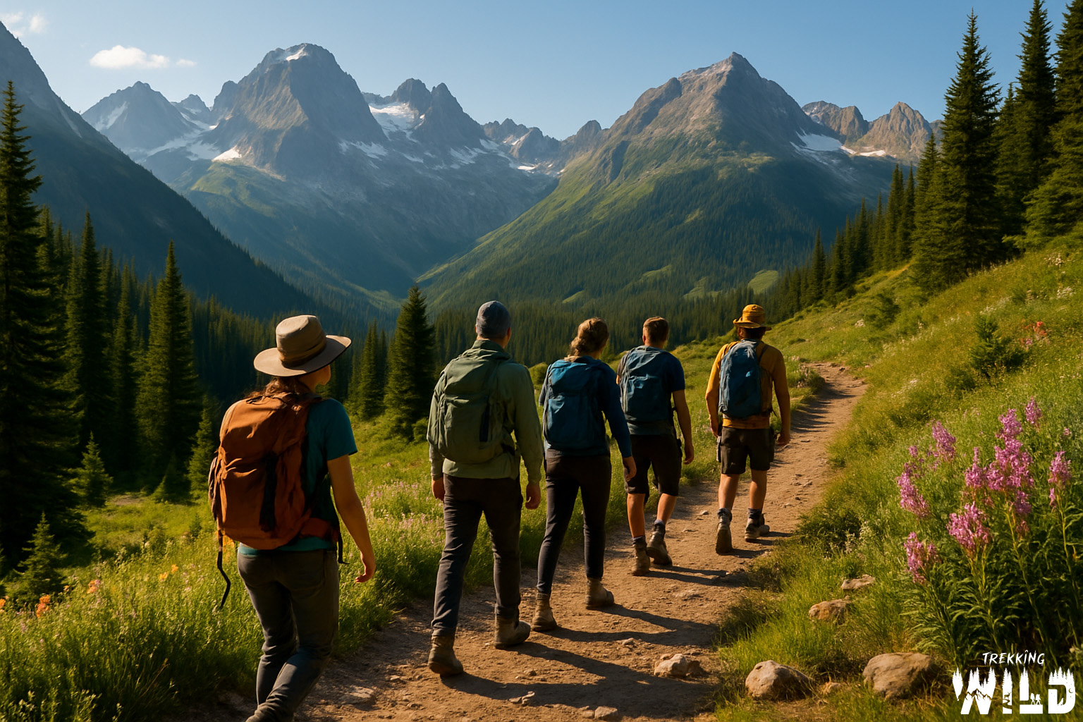
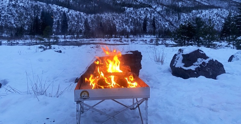
Dispersed camping is one of the best parts of overlanding—remote, scenic, and free. But sometimes, even the most carefully planned routes don’t pan out. We just got back from a spring road trip through Idaho and had to adjust our plans on the fly.
Despite days of pre-trip scouting online, most of the forest service roads we had mapped out were closed for the season. Signs were posted: “Closed Until June.” After we tried all 5 trails we had pre-scouted with no luck we had to come up with a plan B.
Here’s how we navigated those setbacks and found solid dispersed campsites on the fly.
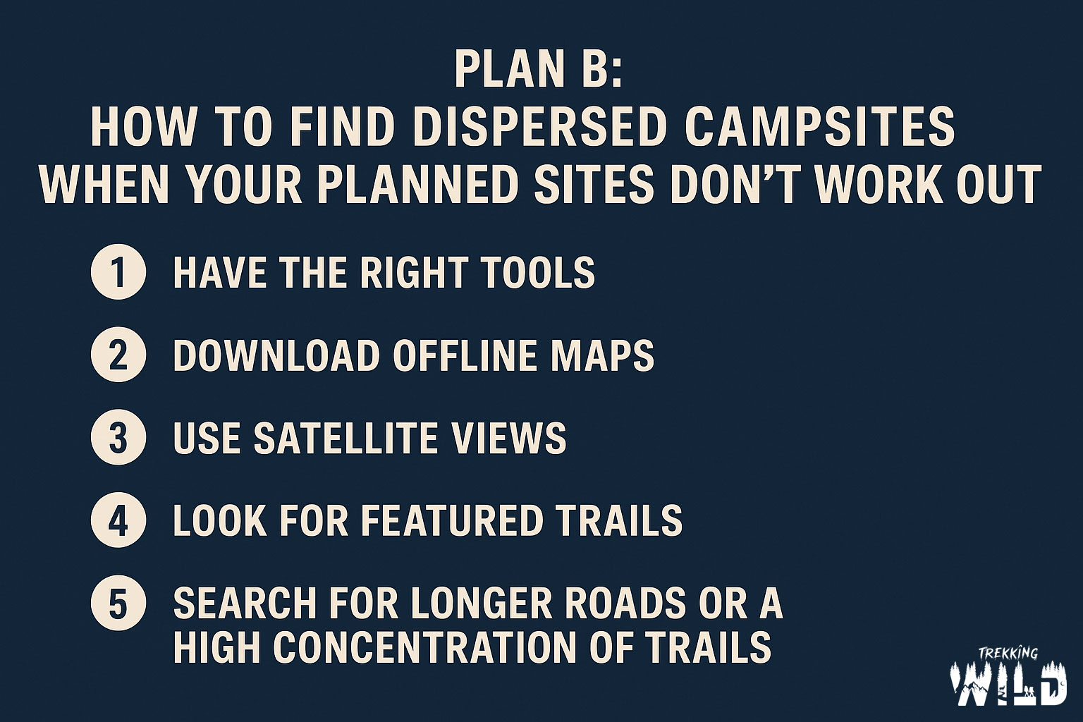
1. Have the Right Tools for the Job
When you’re deep in public lands, the difference between frustration and success often comes down to what tools you’re using. My go-to apps for overlanding are:
- OnX Offroad – This is in my opinion the best app for identifying public vs. private land. Even better, it breaks down the type of public land—BLM, National Forest, State Land, etc.—which matters when it comes to camping rules. BLM land usually allows dispersed camping pretty freely, while National Forest land may come with seasonal restrictions or require you to camp in designated zones.
- GAIA GPS – This is an excellent app for navigating remote areas and layering maps with useful info like trails, elevation, and topography.
If you’re heading into unfamiliar areas, make sure you’re running at least one or both and know how to use them efficiently.
2. Download Offline Maps Before You Go
Don’t count on cell service when you’re heading off the grid. Always download offline maps before your trip. I download:
- OnX Offroad offline maps so I can access trail and land data anywhere
- Google Maps offline areas so I can still get directions to trailheads or nearby towns if needed
If you don’t have a backup internet solution like Starlink, this step is a must. Once you’re out there, you’re on your own—so prep accordingly.
3. Use Satellite View to Scout Potential Campsites
When your first few choices fall through, it’s time to play digital detective. Satellite view can help you spot likely dispersed campsites, especially when paired with good terrain awareness.
Here’s what I look for:
- Clearings in forested areas that could fit my rig
- Fire rings, if visible (though resolution can vary)
- Parked vehicles captured in past satellite images—often a clear sign that someone camped there before
This technique has helped us find dozens of last-minute spots that turned out to be perfect.
4. Check for Featured Trails in OnX Offroad
If you’re using OnX, check for Featured Trails nearby. These are verified routes submitted and reviewed by OnX trail guides. What makes them invaluable when your plans change is the trail descriptions—many will mention if dispersed camping is available along the route.
When you’re scrambling for a new plan, that intel can save you hours of aimless searching.
5. Look for Long Roads and Clusters of Trails
It’s simple math: more trails = more chances to find a place to camp. When evaluating a new area, I look for:
- Long stretches of forest roads
- High concentrations of crisscrossing routes
These areas tend to offer more pull-outs, overlooks, creekside spots, and access to potential dispersed sites.
Final Thoughts: Flexibility is Key
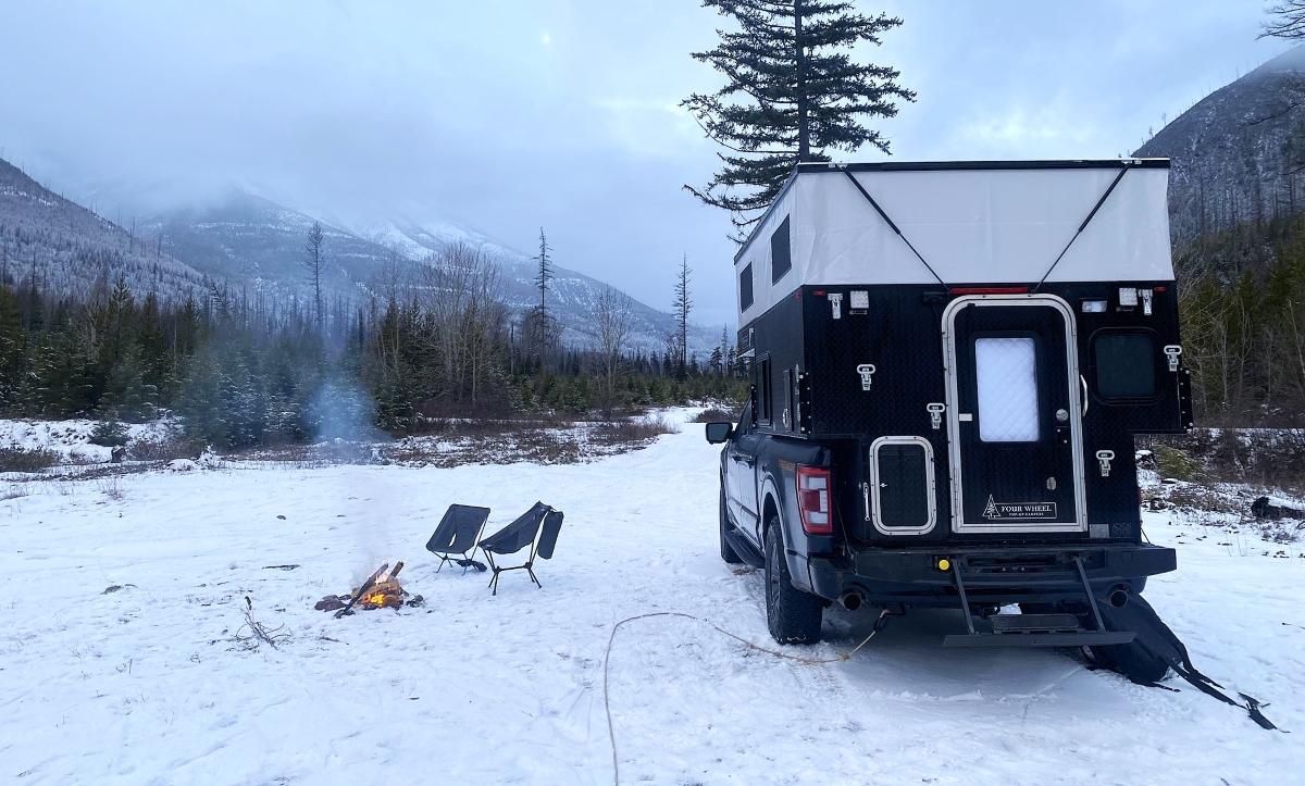
The beauty of dispersed camping is the freedom it offers—but that freedom also requires flexibility. Road closures, weather, and trail conditions can throw a wrench into even the best-laid plans. But with the right tools, offline prep, and a few satellite sleuthing skills, you can turn a “Plan B” into your best campsite of the trip.
So next time your route gets blocked or the forest gate is locked, don’t panic. Pull up your maps, zoom in on satellite view, and go explore. The perfect site might be just one ridge over.